
Geospatial systems · Thessaloniki, Greece
Enterprise GIS
Architecture Experts.
We design, build and support spatial data infrastructure, departmental web GIS and field operations for organizations with complex geospatial needs.
Discuss your requirements Explore capabilitiesCapabilities
Enterprise GIS architecture
We design, build and support GIS around the way each department works.
-
User requirements
Document departmental procedures, user roles and operational needs.
-
System design and development
Design the platform, geodatabases and workflows around ownership, editing roles and access.
-
Spatial data and services
Connect external datasets, publish map and feature services, and make data discoverable through catalogs and geoportals.
-
Automation & GeoAI agents
Build automated workflows and GeoAI agents for day-to-day GIS operations.
-
Applications
Build and support departmental web GIS and ArcGIS Field Maps for office and field teams.
Our approach
GIS starts with how
your teams work.
We document the work first. That tells us which maps, forms and tools each department needs in the office and on site.
-
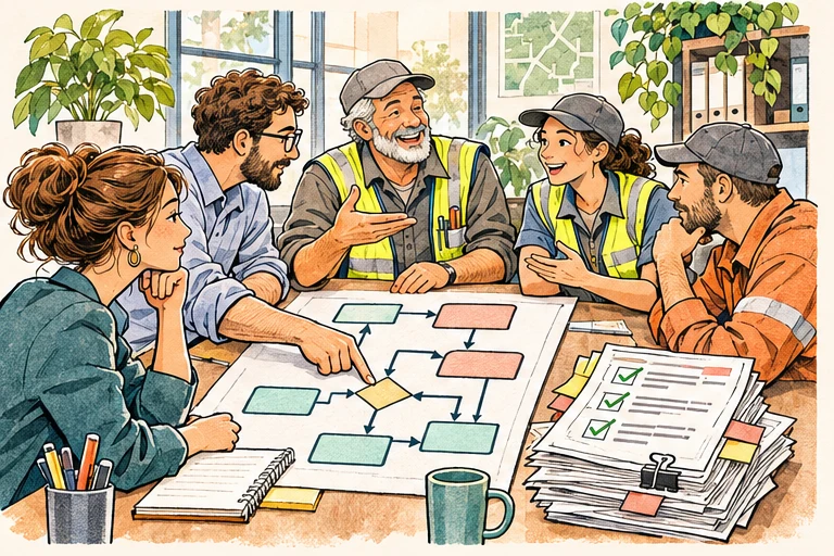
Record the procedure
Talk with the people who do the work. Trace how a task starts, who handles it, which records they use and where they pass it on.
-
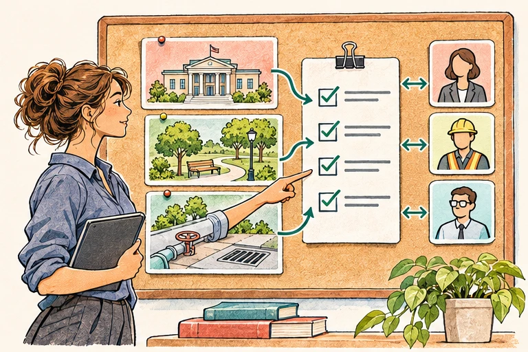
Define needs by department
Agree with each team on what users need to see, capture, edit and approve. Turn those needs into requirements for roles, forms and tools.
-
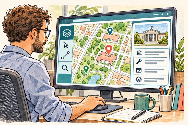
Build web GIS for the office
Give staff a map and the tools to find assets, review incoming observations and update the status of work.
-
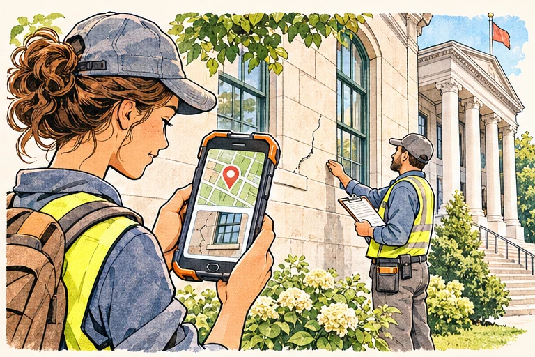
Set up Field Maps for crews
Use mobile maps and forms to capture locations, condition notes and photos on site. Bring those observations back into the office workflow.
Implementations
Enterprise GIS in practice
Examine how spatial infrastructure, catalogs and applications support operational, research and environmental work.
Contact
Talk to our GIS architects.
Infometria · Thessaloniki, Greece