← All implementations
Copelouzos / REDEX
Real estate GIS for Copelouzos / REDEX
A map-based workspace for editing property data, finding records and creating reports.
Project overview
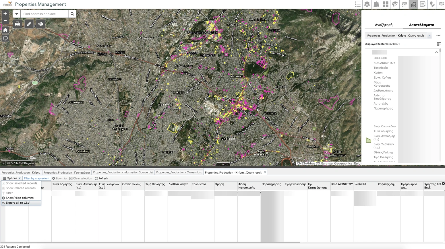
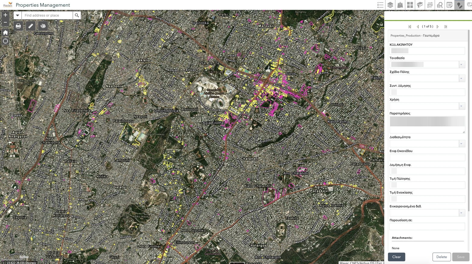
The presentation identifies the platform as the Copelouzos real estate project and shows its ArcGIS portal infrastructure. Map views connect property locations with the records staff use to update and retrieve information.
What the GIS supports
- Edit property attributes using forms.
- Search and retrieve property records, then export them to Excel.
- Produce property reports that include map context.