Platform and applications
How each department uses the GIS
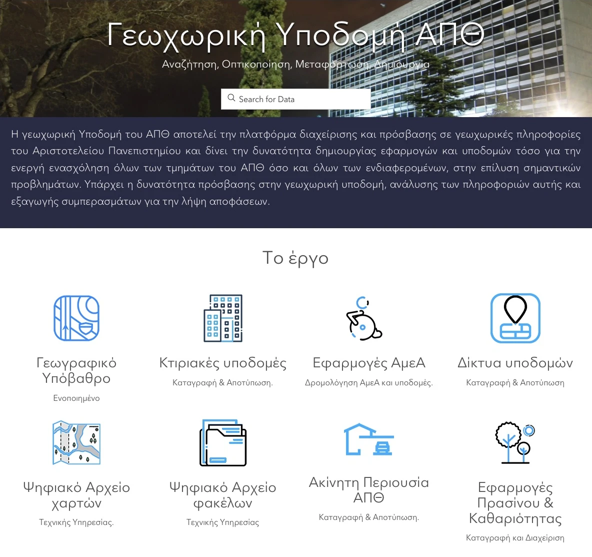
A common campus basemap supports separate workflows for the Technical Service, property teams and other university departments. AUTH describes live application access as role-based.
Unified campus basemap
Topographic surveys form the common reference for building and property records. The basemap combines geometry and descriptive attributes so departments can use the same spatial reference in their applications.
AUTH basemap documentation ↗
Buildings and teaching spaces
Field surveys capture floor plans, room attributes and photographs. Unique room codes connect the plan geometry to standardized records. The portal also lists a Campus Locator for finding teaching rooms.
AUTH building survey ↗
Technical Service archive
Separate subsystems handle drawings and document folders. Staff register digitized files and their attributes, then search and retrieve drawings through a web map or search forms. The live application prompts for sign-in.
AUTH archive documentation ↗
Property and endowments
The shared property database brings together original property files, topographic plans and photographic documentation. It covers holdings managed by both the Property and Endowments departments and records cadastral declarations.
AUTH property documentation ↗
Campus accessibility
Survey records document accessibility characteristics of university spaces and facilities, including sanitary facilities. The portal lists a separate application for accessible routes and campus access.
AUTH accessibility documentation ↗
Networks and campus operations
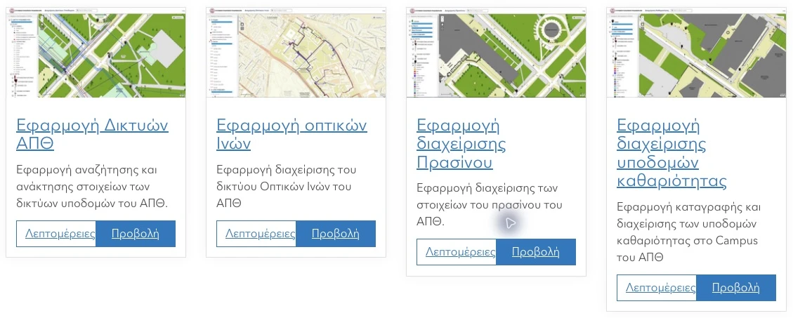
The portal lists separate tools for finding infrastructure network records, managing fiber assets, maintaining campus greenery and recording cleaning infrastructure.
Find these tools on the AUTH portal ↗