← All implementations
Municipality of Veroia
Technical GIS for Veroia
Municipal GIS development and technical support for property, building works and civil protection.
Project overview
Infometria’s technical GIS development and support for Veroia is illustrated here through three municipal web applications covering property, building works and civil protection.
What staff can do
- Locate municipal parcels and choose which property information to query.
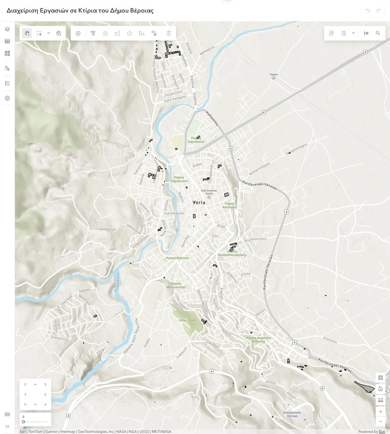
- View municipal building footprints and work with them in a web map editor.
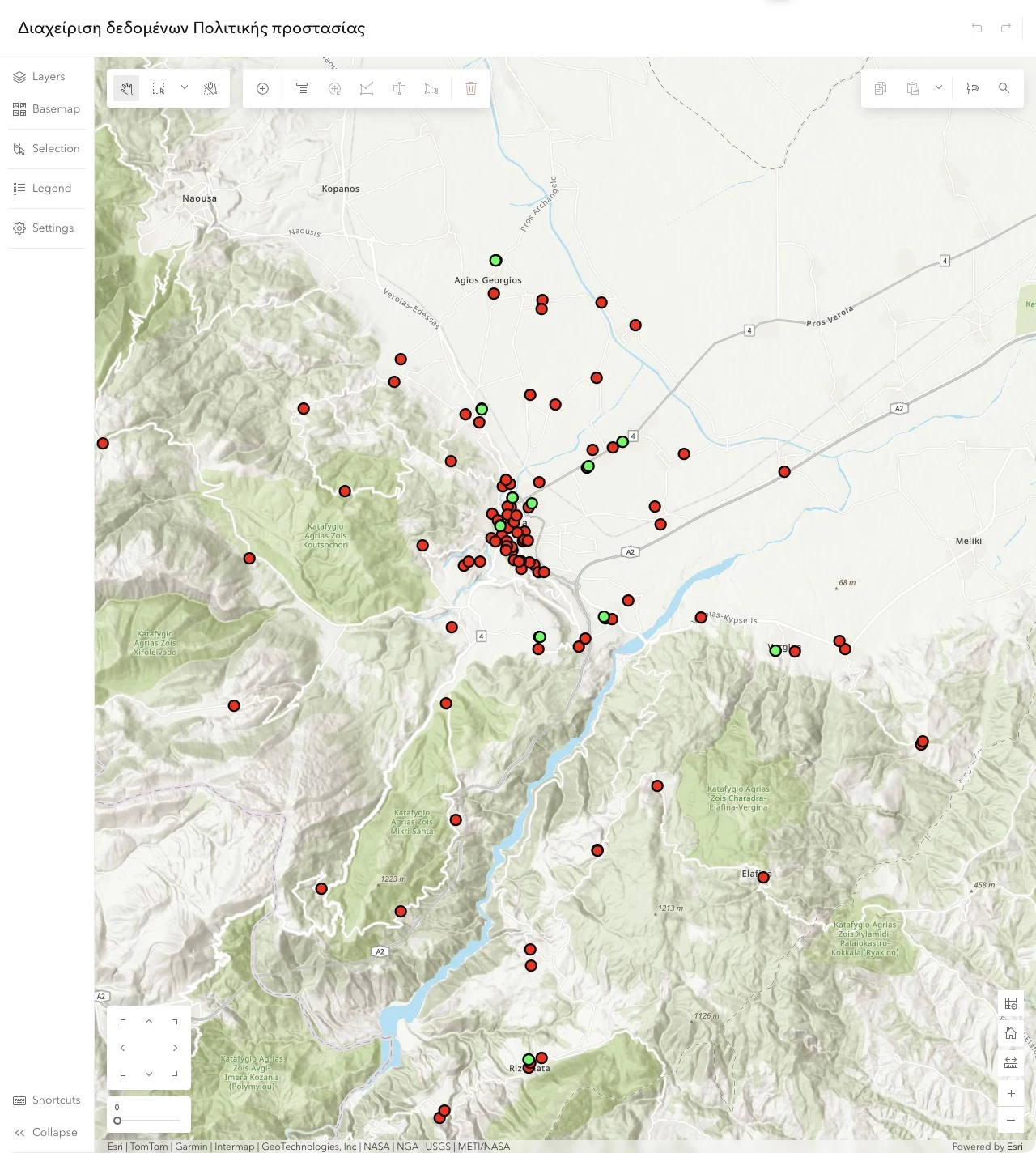
- View and edit mapped civil protection data in a dedicated application.
Veroia’s web GIS applications
Select a screenshot to view it at full size.
Municipal real estate
How the property app works
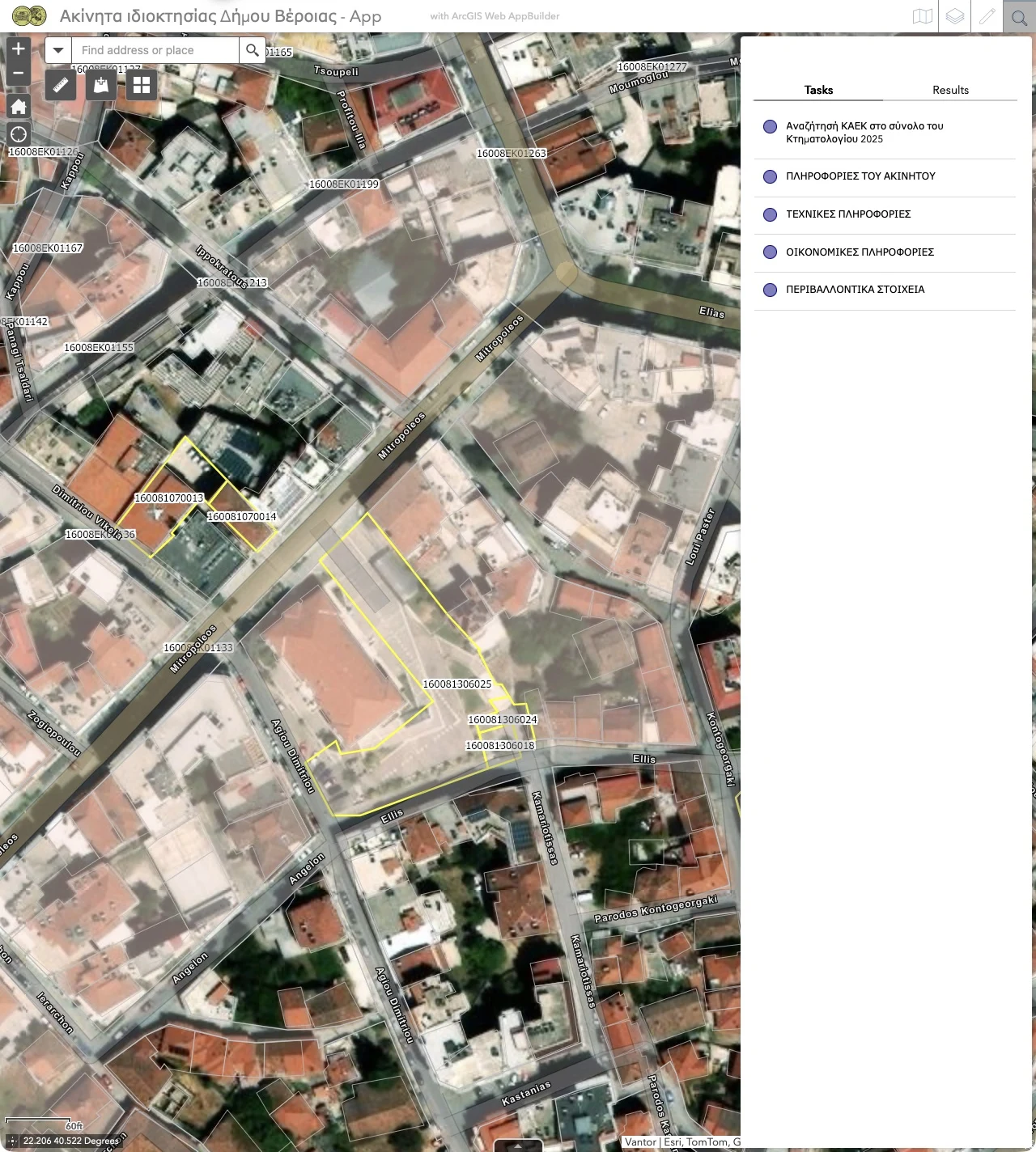
Veroia’s ArcGIS Web AppBuilder application ties the municipal property inventory to mapped parcels, cadastral boundaries and related records. Staff can start with the location, a cadastral identifier or a themed query.
- Search and Query
- Find an address or place from the map search. In the Query panel, look up a KAEK (Greek cadastral parcel identifier) in the 2025 cadastre or choose a query for property, technical, financial or environmental information. The panel has separate Tasks and Results tabs.
- Parcel pop-ups and documents
- Select a map feature to inspect its attributes, including cadastral identifier, ownership category and area. The pop-up lists attachments and related records for rights, rentals, financial information, area characteristics, technical information and environmental information. A separate Property Documents link opens the document site.
- Smart Editor
- Authorized staff can select an existing feature for editing or start with a feature template. The templates include parcels, horizontal and vertical ownership units, roads and waterways.
- Layer List and Legend
- Control which layers appear, including municipal properties and 2025 cadastral boundaries, and use the legend to interpret map symbols. The basemap gallery changes the reference map. Add Data and Measurement are available from the map toolbar.
- Attribute Table
- Switch between tabular views for buildings, municipal property, 2025 cadastral boundaries and block uses. The table toolbar includes options to filter by map extent and zoom to a selected feature when those actions are available.
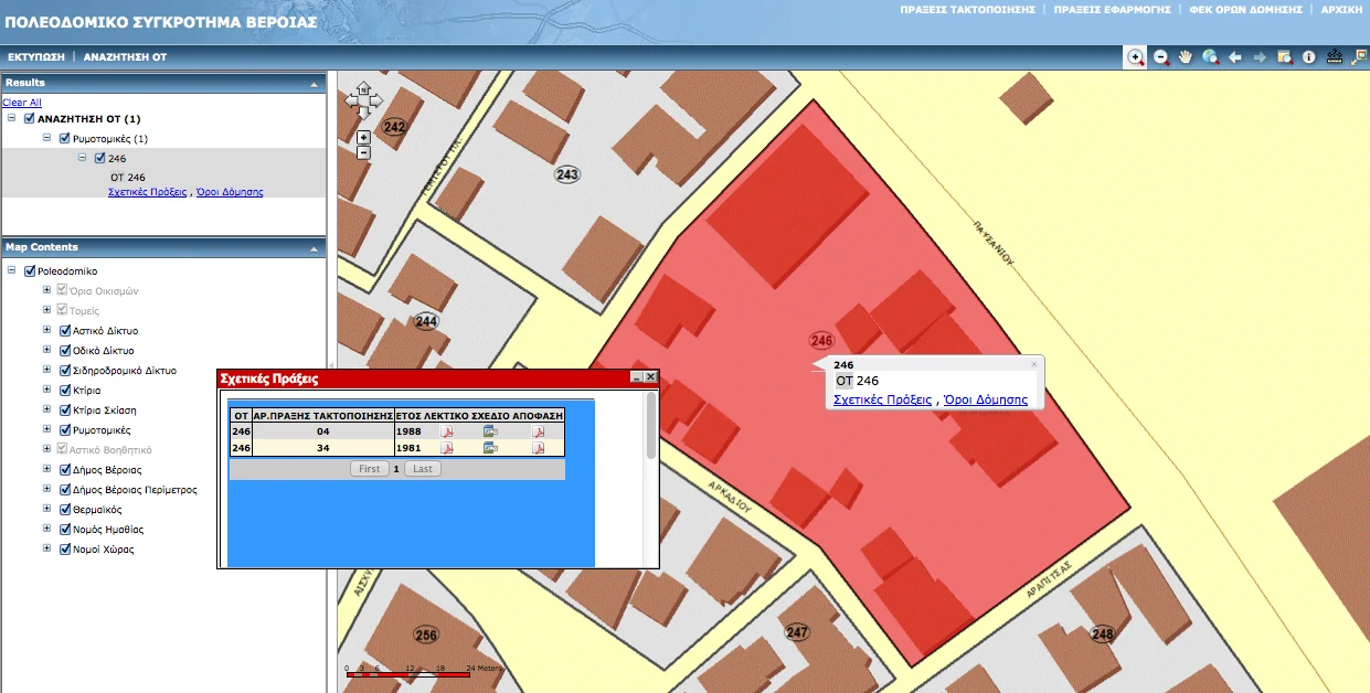
Earlier Veroia web GIS · 2012
The presentation shows the earlier planning map and a tool for looking up a planning record by building block.