
← All implementations
Environmental GIS
NoiseMaps
Strategic noise mapping and noise action plan datasets for Thessaloniki.
GIS project scope
The Thessaloniki project archive contains separate spatial layers for strategic noise mapping and the noise action plan. It also includes study area boundaries, terrain contours, building footprints, and road and rail geometry.
Noise indicators
The archive contains both Lden (day-evening-night) and Lnight (night-time) contours. The maps below show selected Lden contours from each dataset at the same extent. They depict archived results.
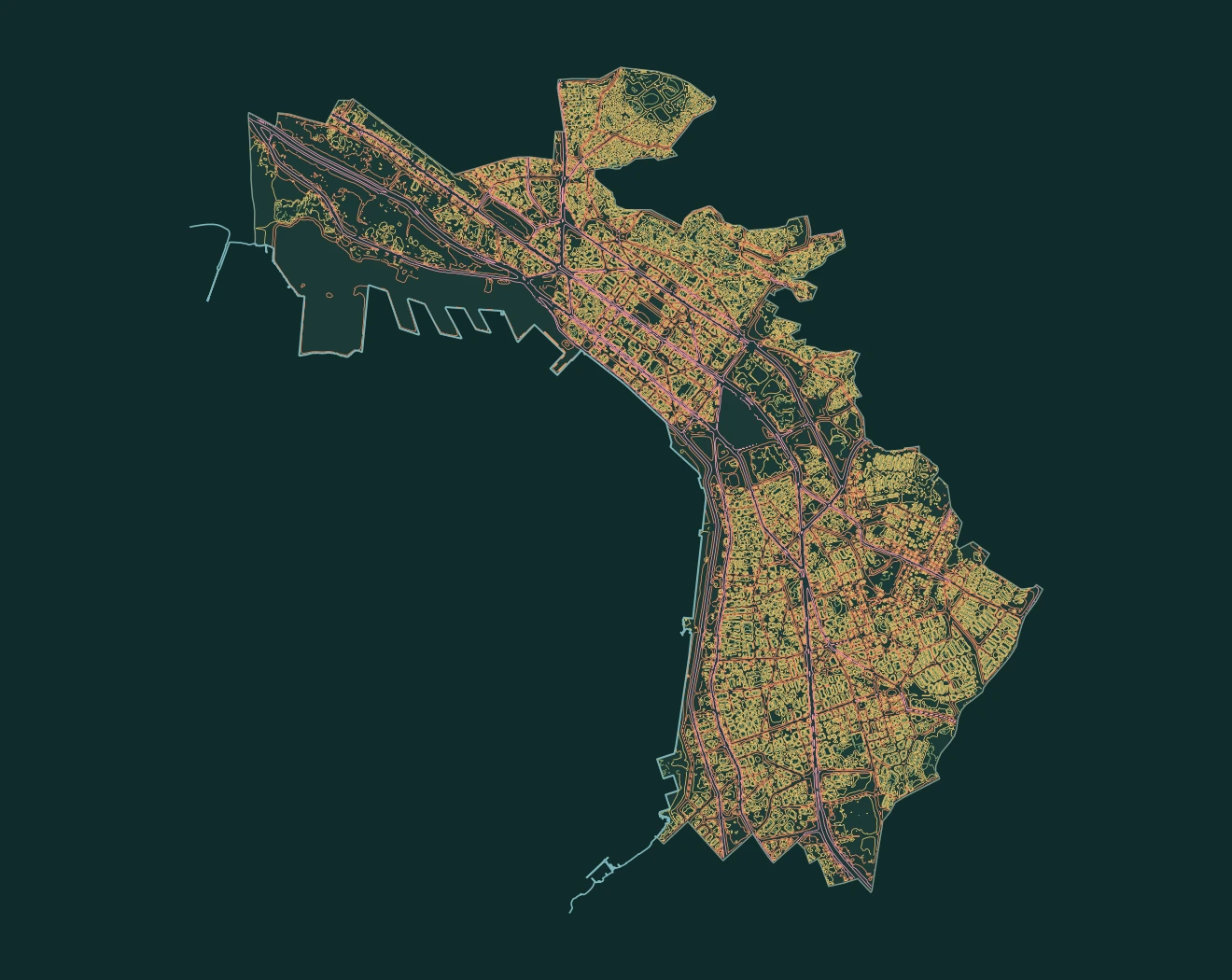
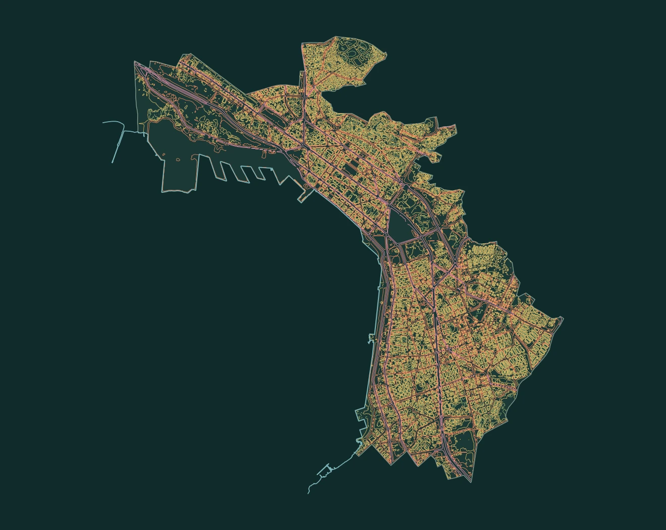
- 45–54 dB
- 55–64 dB
- 65–74 dB
- 75 dB and above